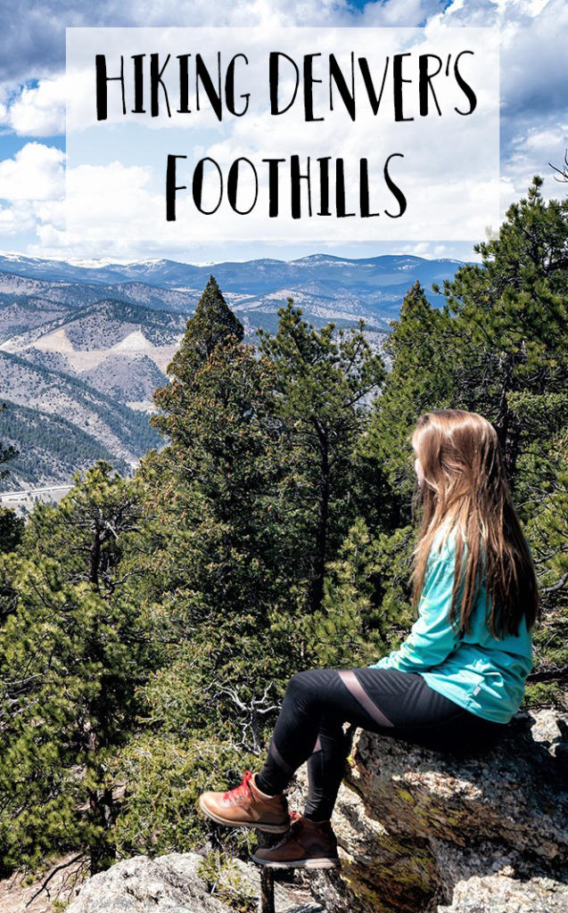
Hiking Denver’s Foothills
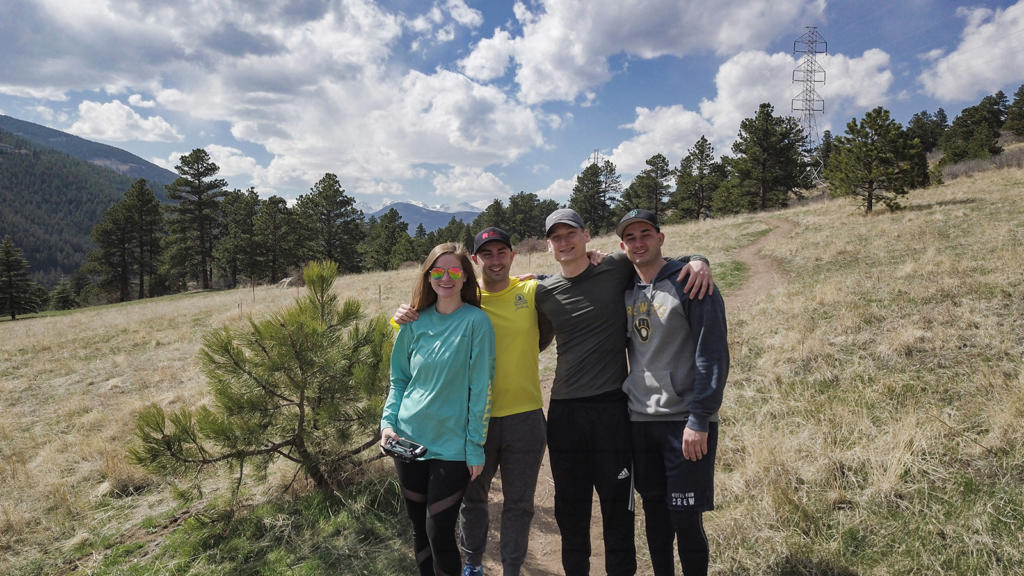
I recently spent a week in the suburbs of Denver. The first half of the week was in Evergreen. Evergreen is about 30 miles west of Denver, in the foothills of the Rocky Mountains. On our first day there, we did two shorter hikes in the area.
Centennial Cone – Juniper Loop Trail
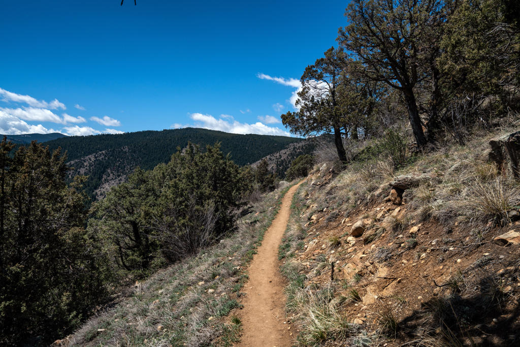
We started the short 2.5 mile Juniper Loop Trail from the Centennial Cone Park West Trailhead. The drive was easy and paved. We were there on a Thursday morning, and there was only one other car in the parking lot. From the trail head, we took the trail south to get to the Juniper Loop. It starts at a fairly high elevation (~7500 ft) and goes down a little as you make your way around the loop. We passed a few mountain bikers, but most of the time it felt like we had the trail to ourselves.
The views along the entire loop are beautiful. You go through a canyon with mountains around you, as opposed to hiking to the top of a mountain with views below. This was a great hike to do the end of April. While the mountains were still super snowy, the foothills weren’t at all and the temperatures were in the mid-60s. Perfect for a hike!
We saw signs while we were here saying that you can only hike here on odd numbered weekend days and mountain bike on even weekend days. Luckily, we were here on a weekday, so that didn’t matter. Apparently, you can receive a fine for going on the wrong day!
Centennial Cone has an option for a much longer 13 mile hike around the big loop. We were told that the northern half was not very scenic and if we wanted to just do part of the big loop, to do the southern part and go back out the way we came. We decided to instead drive to another hike and get a different view!

Floyd Hill
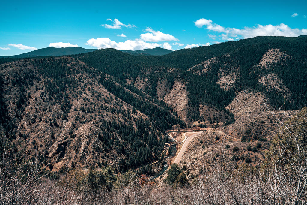
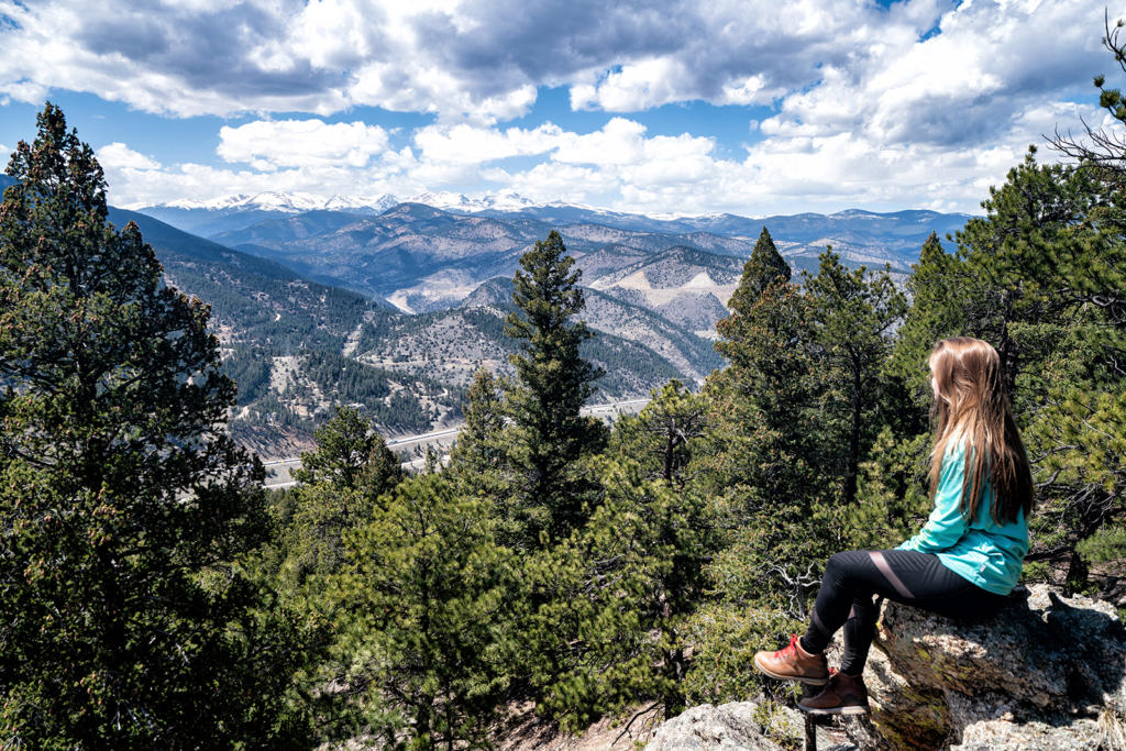
Floyd Hill is only a 15 minute drive from Centennial Cone. The hike was very different, though! The trailhead is right off I-70, so you hear some road noise for the first half of the hike. You can navigate to “Floyd Hill Open Space” on Google Maps to get to the trailhead. The beginning of the hike goes through a meadow along the highway for a little stretch, but then the climb starts. Unlike the first hike of our day, this one climbs straight up the side of this “hill” and is quite steep at points. Elevation starts at 8000 feet and climbs about 750 feet.


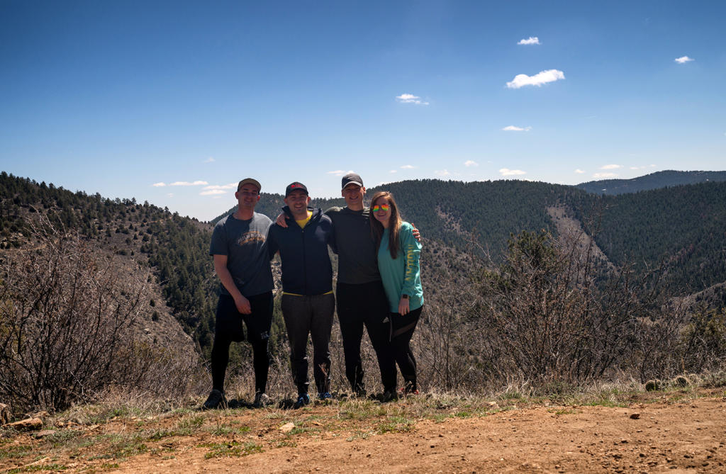
There are several different paths you can take to get up. Some are mountain-bike only and some are hiking-only. They are well-marked so pay attention to the signs and you’ll be fine. I’m not exactly sure which trails we took– whenever we would come to an intersection, we would pick the one that felt like it was going up in the right direction. If you do the full loop, it’s about 4.3 miles long round trip. We hiked up until we found a huge rock with an amazing view of the Continental Divide and sat there for about an hour. Our total hike was 2.6 miles long. There were a handful of other cars in the parking lot, but we didn’t see anyone else the entire time we were there. I loved it!
You may also be interested in:
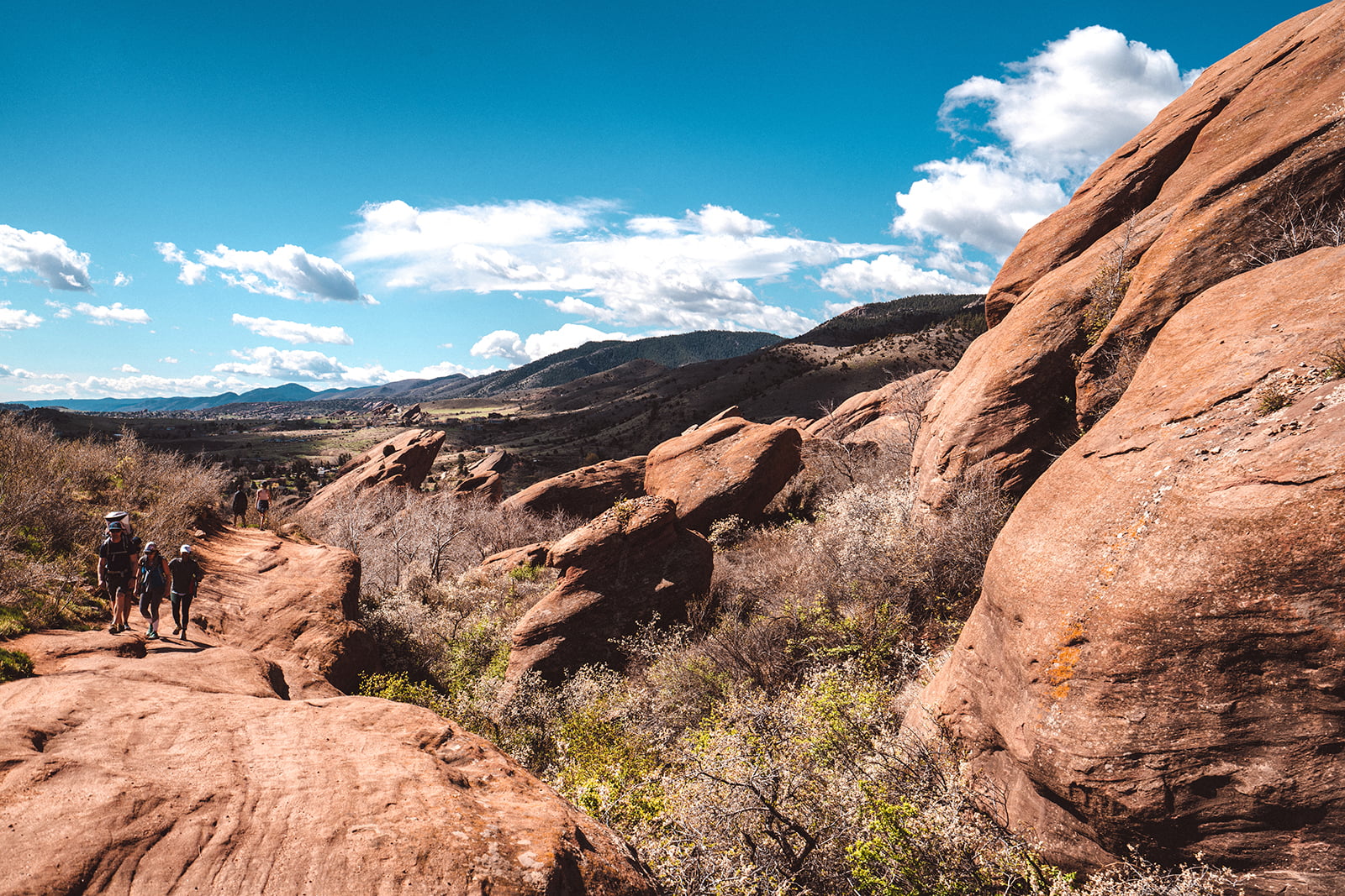
Exploring Red Rocks Amphitheater & Park
Cute Colorado Towns Near Denver
Discover more from Young Wayfarer
Subscribe to get the latest posts sent to your email.