
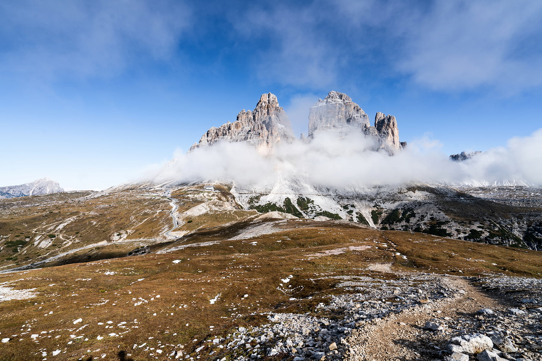
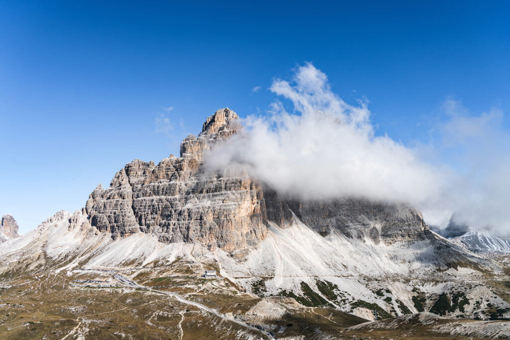
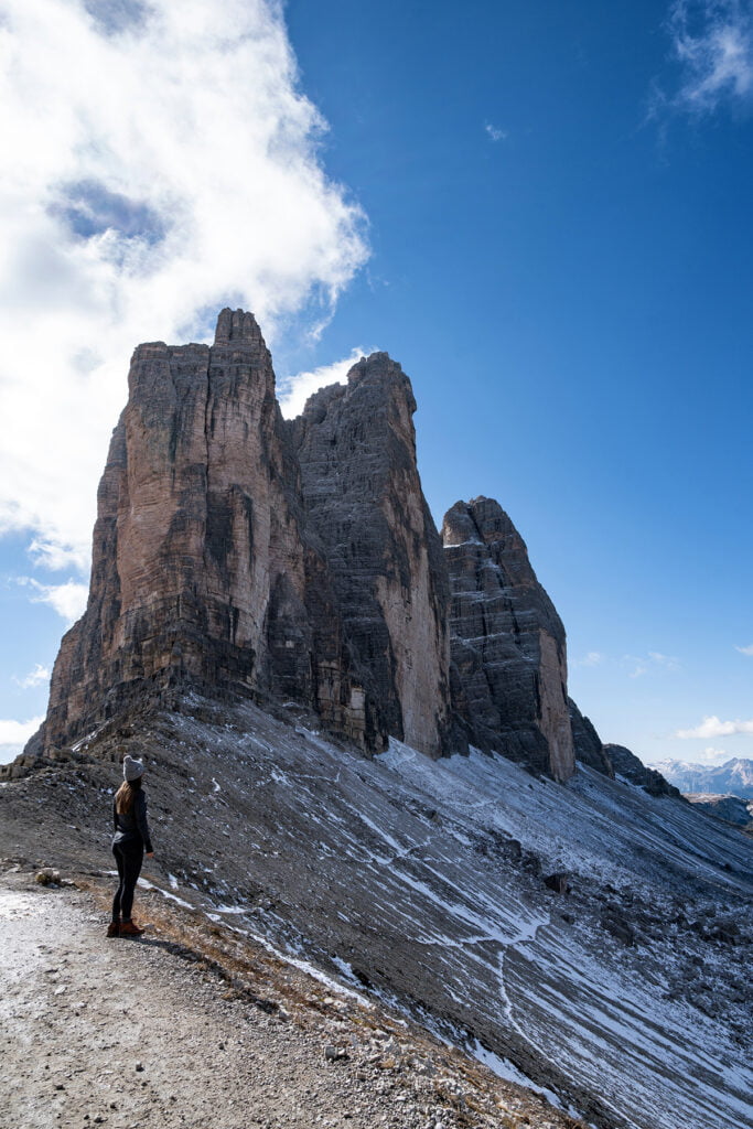
My favorite day on our recent trip to Italy was our day hiking in Tre Cime di Lavaredo, located in the Dolomites. The Dolomites are a mountain range in northern Italy. These were some of the most spectacular mountains I’ve ever seen. The craggy pinnacles are breathtaking.
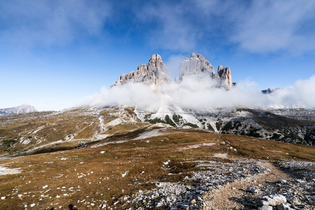
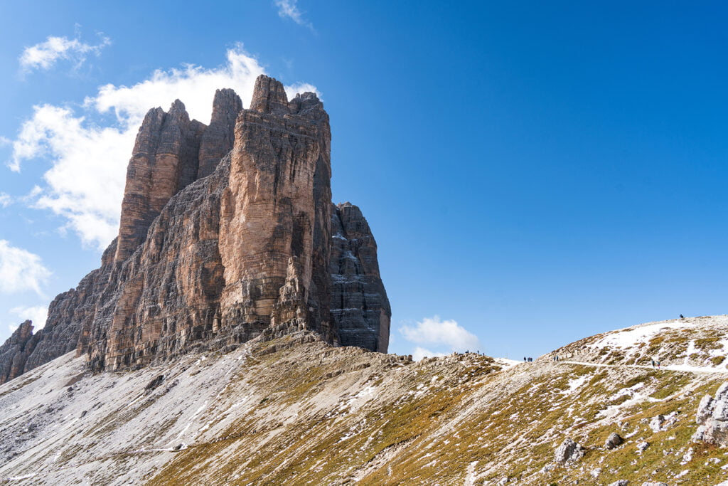
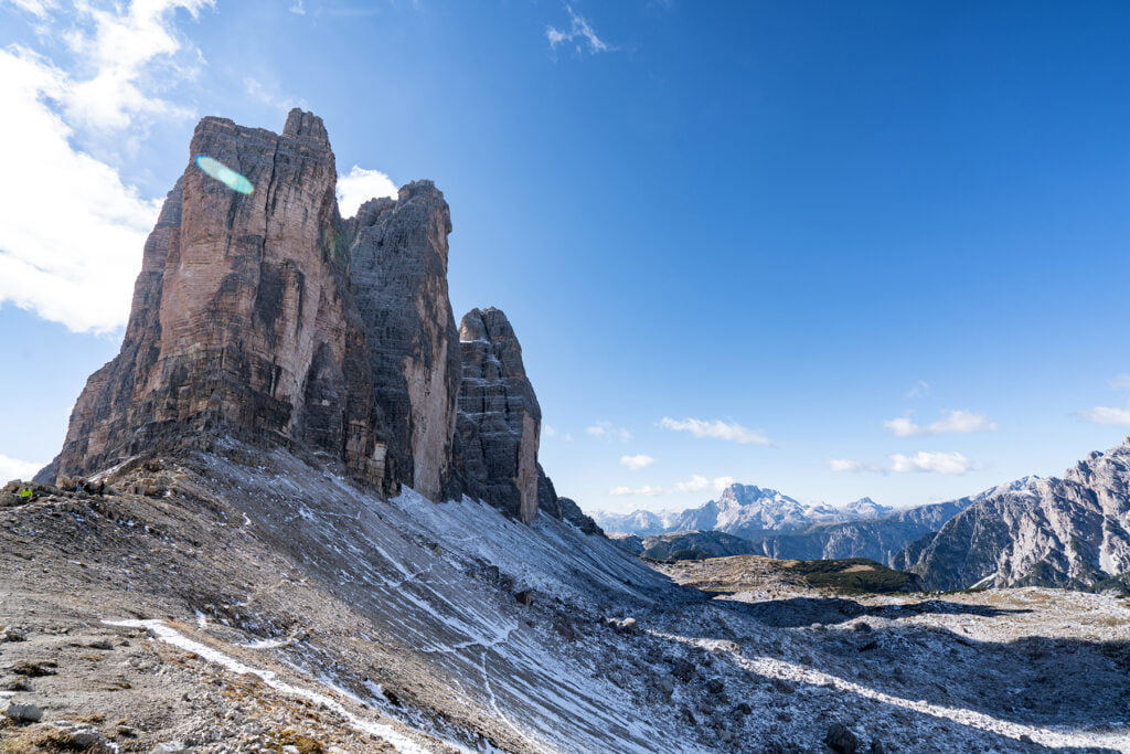
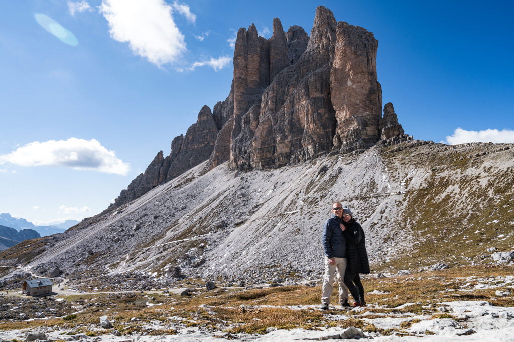
Tre Cime di Lavaredo is named after three large peaks (“three peaks of Lavaredo”) in the center of the park. The most popular trail is a loop that goes all the way around the three peaks, but there are several other trails in the park you can do as well.
Getting to Tre Cime
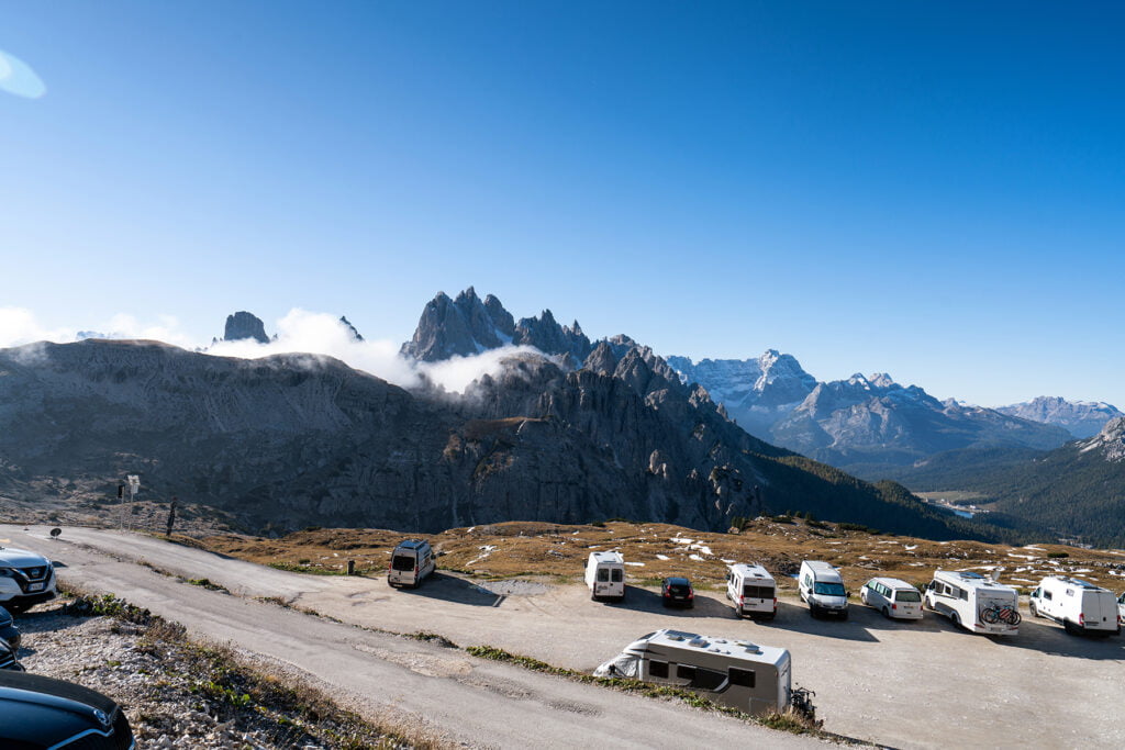
We stayed in the tiny town of Misurina, which is about five minutes away from the entrance to the park. The park opens at 8am, and there is a toll booth that collects 30 Euros per car. I believe it is cash only. We had exact change for the lady, which made it go quickly. We arrived at the toll booth around 9:30am and there were about ten cars ahead of us in line. I had read to arrive early as the parking lot would fill up. We were there on a sunny Saturday, so I was slightly worried about it being full. However, there was a parking spot counter at the toll booth that showed that there were still 250 spots left.
If you don’t want to pay the toll, there is a free parking lot right before the toll booth. The walk to get all the way up to the trails would take a long time though, so keep that in mind!
Once through the toll booth, it is a ten-minute scenic drive to get to the parking area at Rifugio Auronzo.
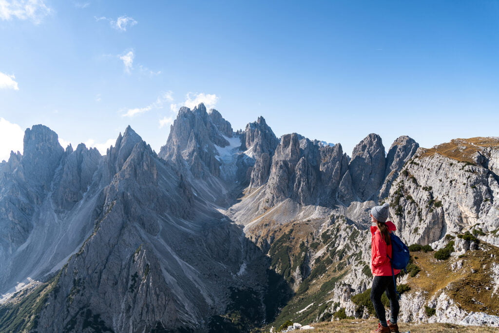
Hiking to Cadini di Misurina
Distance: 2.4 miles round trip
Elevation Gain: 370 feet
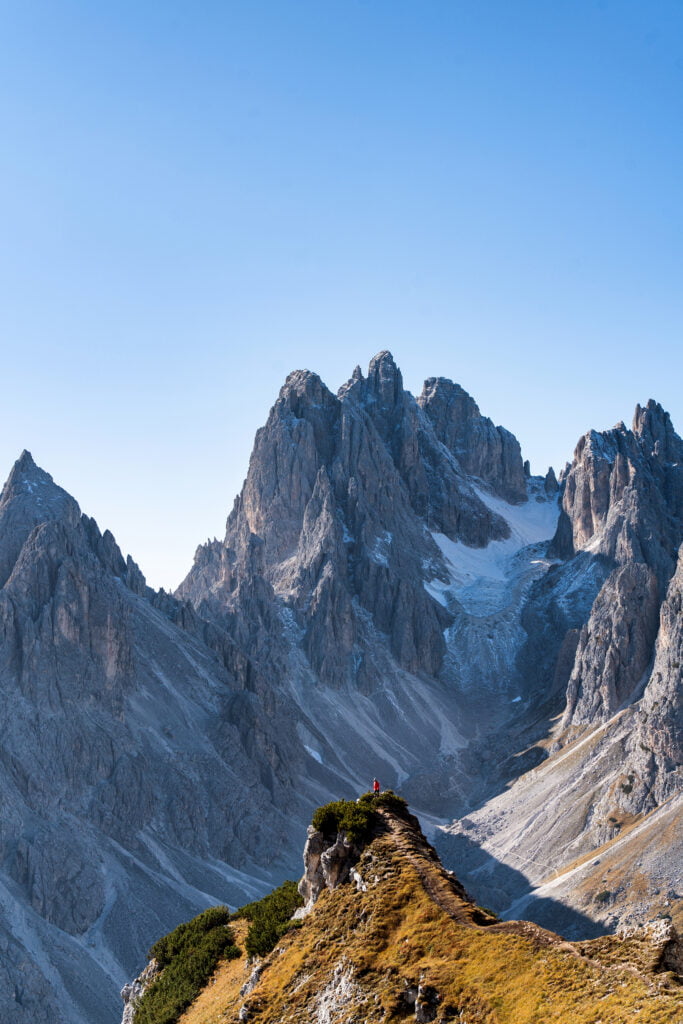
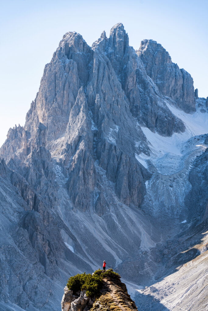
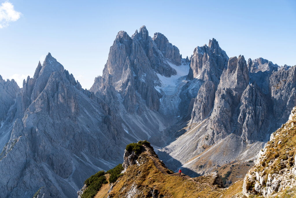
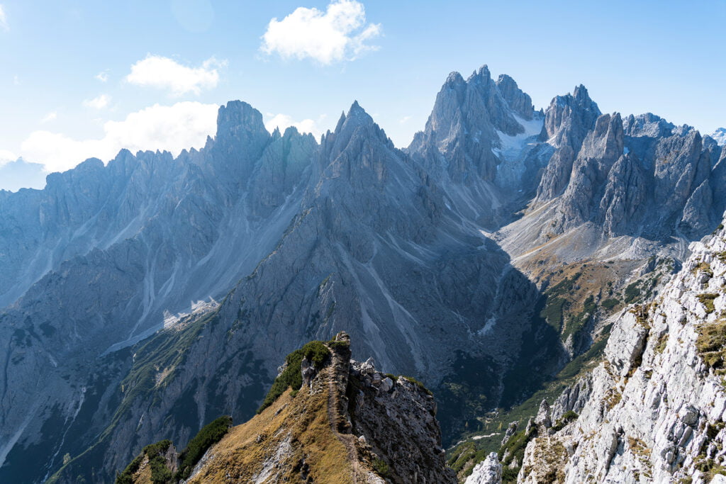
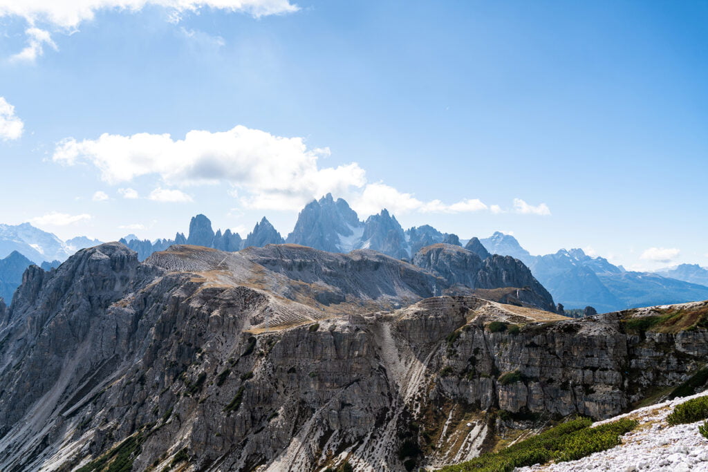
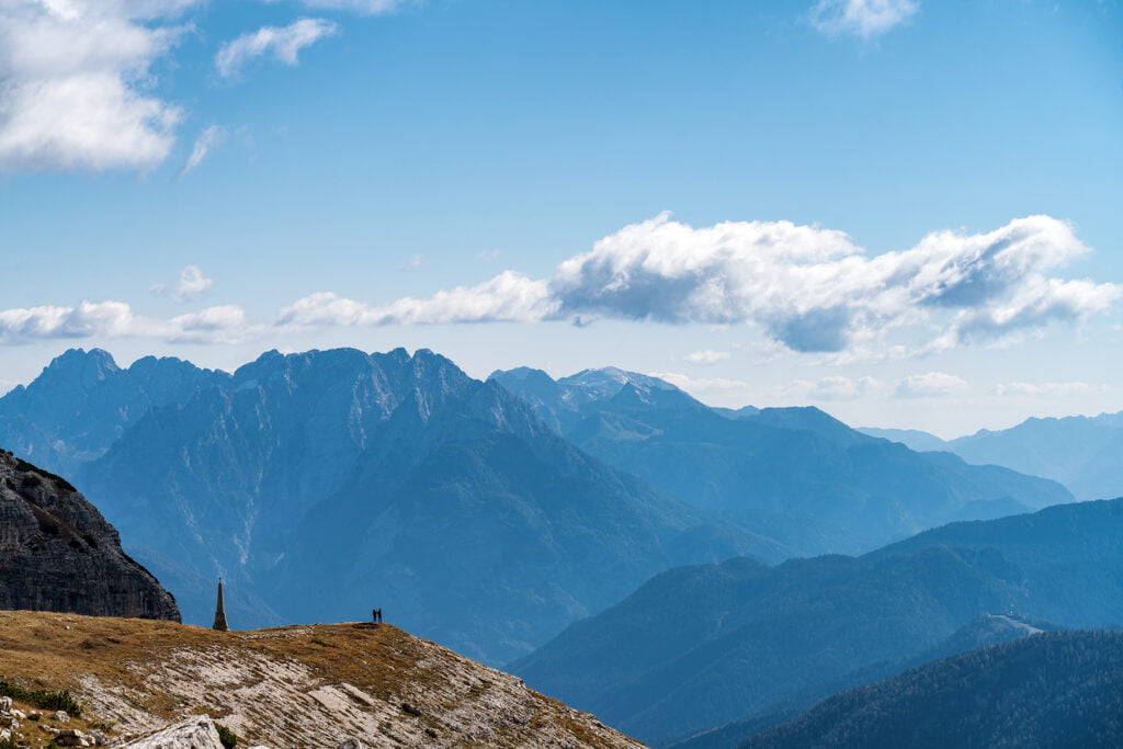
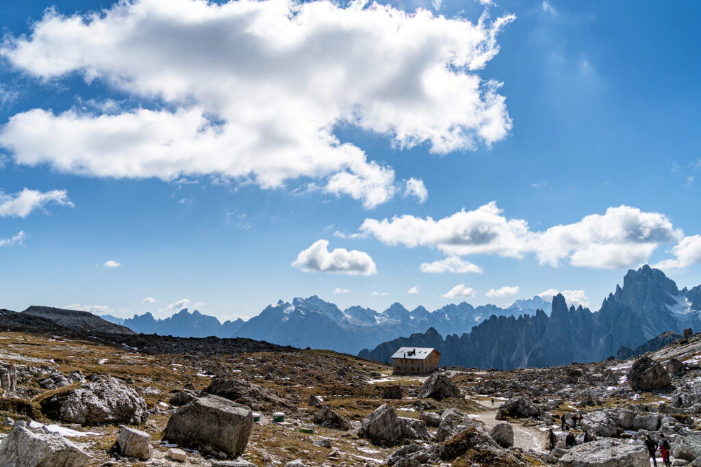
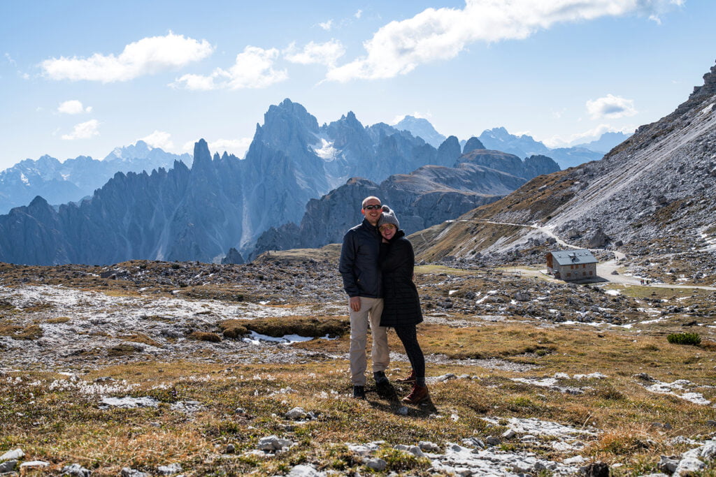
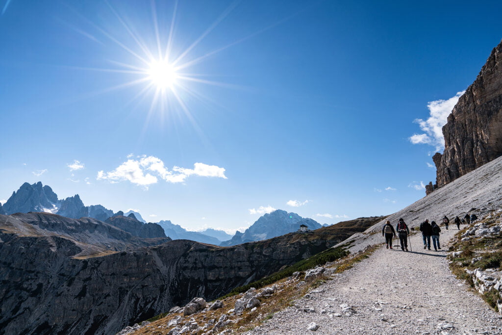
The first hike we did was to the Cadini di Misurina viewpoint. This is a short and fairly easy hike with an amazing viewpoint at the end. We started out by checking out the view on Rifugio Auronzo’s back deck and making a quick bathroom stop. If you are standing on the back deck, facing away from the Rifugio, the start of the hike will be right in front of you, down the hill a little bit. The start to the Tre Cime Loop, where almost everyone else will be going, is behind you.
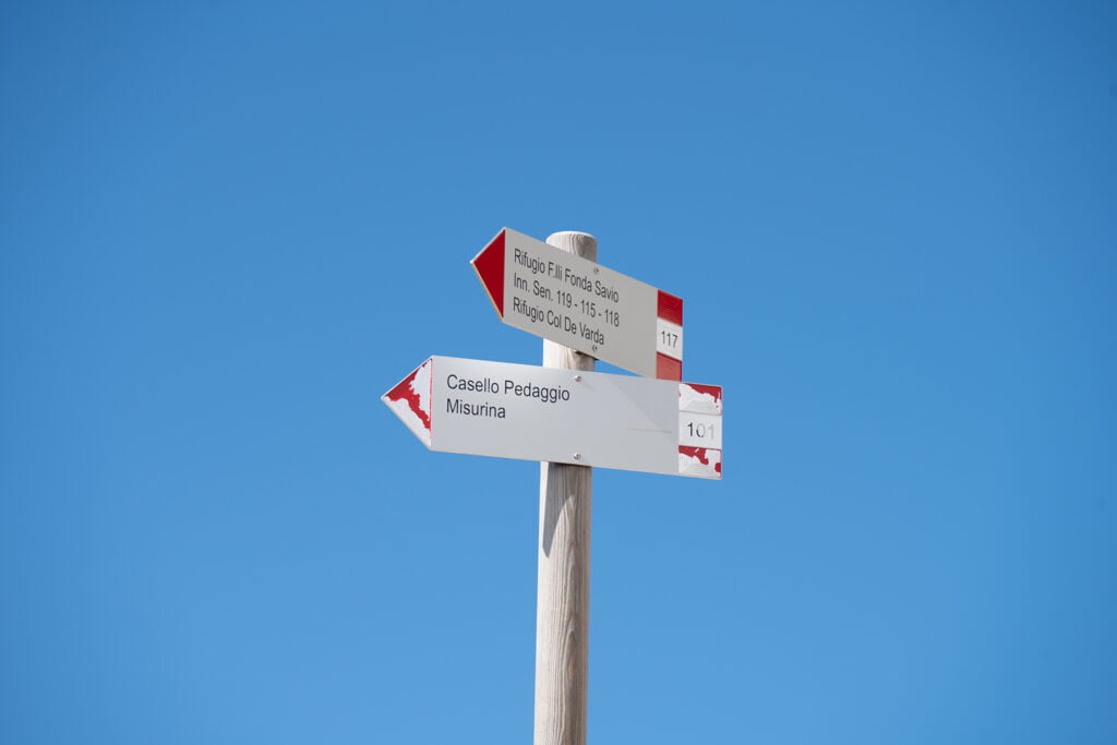
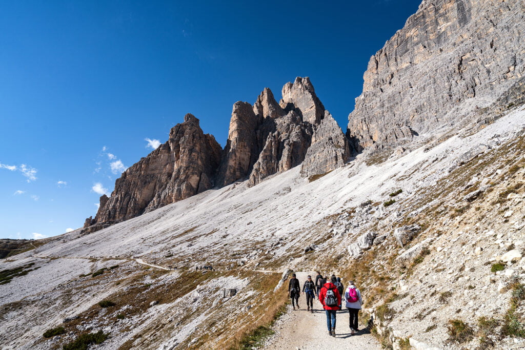
We found a sign pointing to trail 117 just past the road and followed the trail along the ridgeline. This trail was lesser known than the Tre Cime loop, so we only saw a handful of other people along it. The only real elevation climb of this hike is all in the beginning. As you climb up a large hill, the sharp peaks of Cadini di Misurina start to appear more clearly.
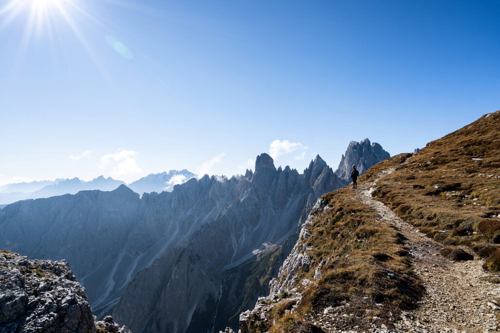
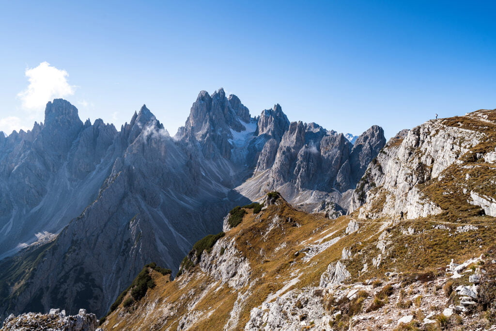
Follow the red and white trail markers, and it’s hard to miss the trail. Once you see the viewpoint, you have a few options for where you can go. We hung out here for a while and looked at it from each spot. The coolest part was walking out onto the main viewpoint, which has sheer drop offs on both sides. This section was a little muddy from the previous day’s rain, so I was sure to be extra careful. I would advise not doing this section if it is raining.


From the viewpoint, we hiked back to Rifugio Auronzo the same way we came and ate the lunch we had packed. The Rifugios located in the park are similar to hostels, where you can rent a bed for a night if you choose to backpack through the park. However, most of the Rifugios were closed for the season while we were here in mid-October. Rifugio Auronzo was open for food service, though.
Hiking the Tre Cime Circuit
Distance: 6 miles
Elevation gain: 1300 feet
After we had eaten, we started the hike that loops all the way around Tre Cime. We decided to hike in a counterclockwise direction, which is the more popular direction to go if you aren’t necessarily hiking the whole loop. Since we had already hiked 2.4 miles, we weren’t sure how far we’d want to go.
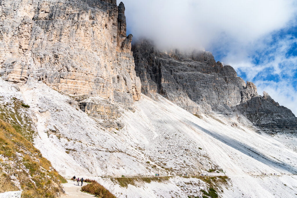
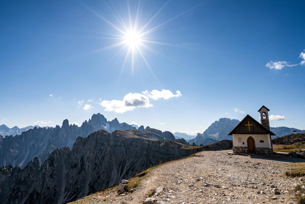
The start of this trail is really easy to find. Follow the signs pointing to trail 101. The first section of the hike heads to Rifugio Lavaredo and is about a mile long and fairly flat. The views at Rifugio Lavaredo were incredible. You could definitely finish your hike here and be satisfied. However, you won’t get the famous view of Tre Cime until you get to the other side of the loop.
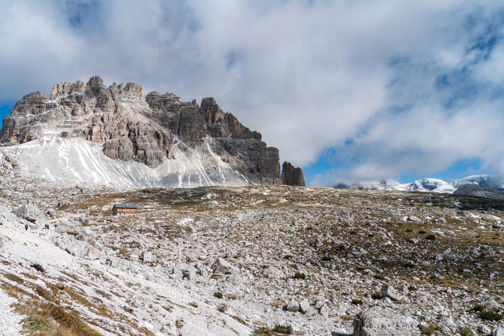
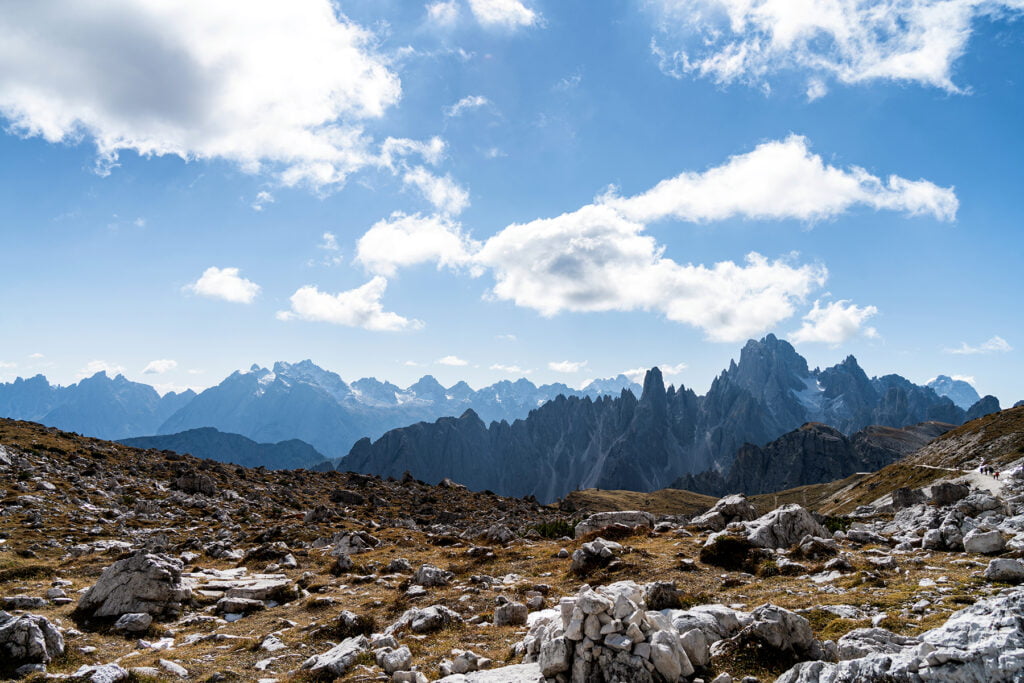
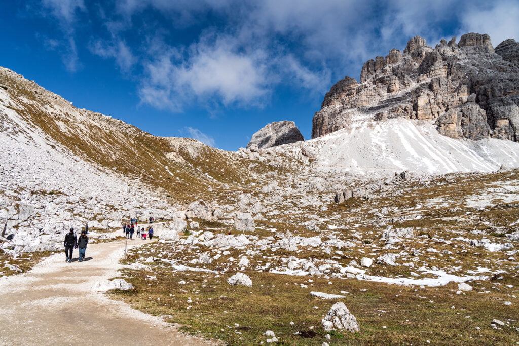

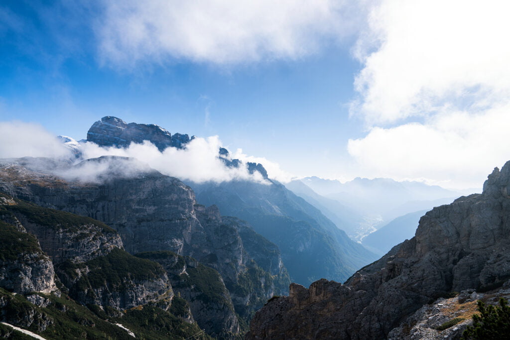
The next section steeply climbs to Forcella Lavaredo. This is the highest point of the circuit, and where you get your first good view of the three peaks.
We wanted to make it to the next stop, Rifugio Locatelli, before turning around, but the trail starts to deeply descend here. It was covered with snow and ice and we didn’t have hiking poles, so we decided to turn around before making it to the next Rifugio. We ended up going about 3.8 miles on this hike. I would love to come back in the summer and hike the full circuit!

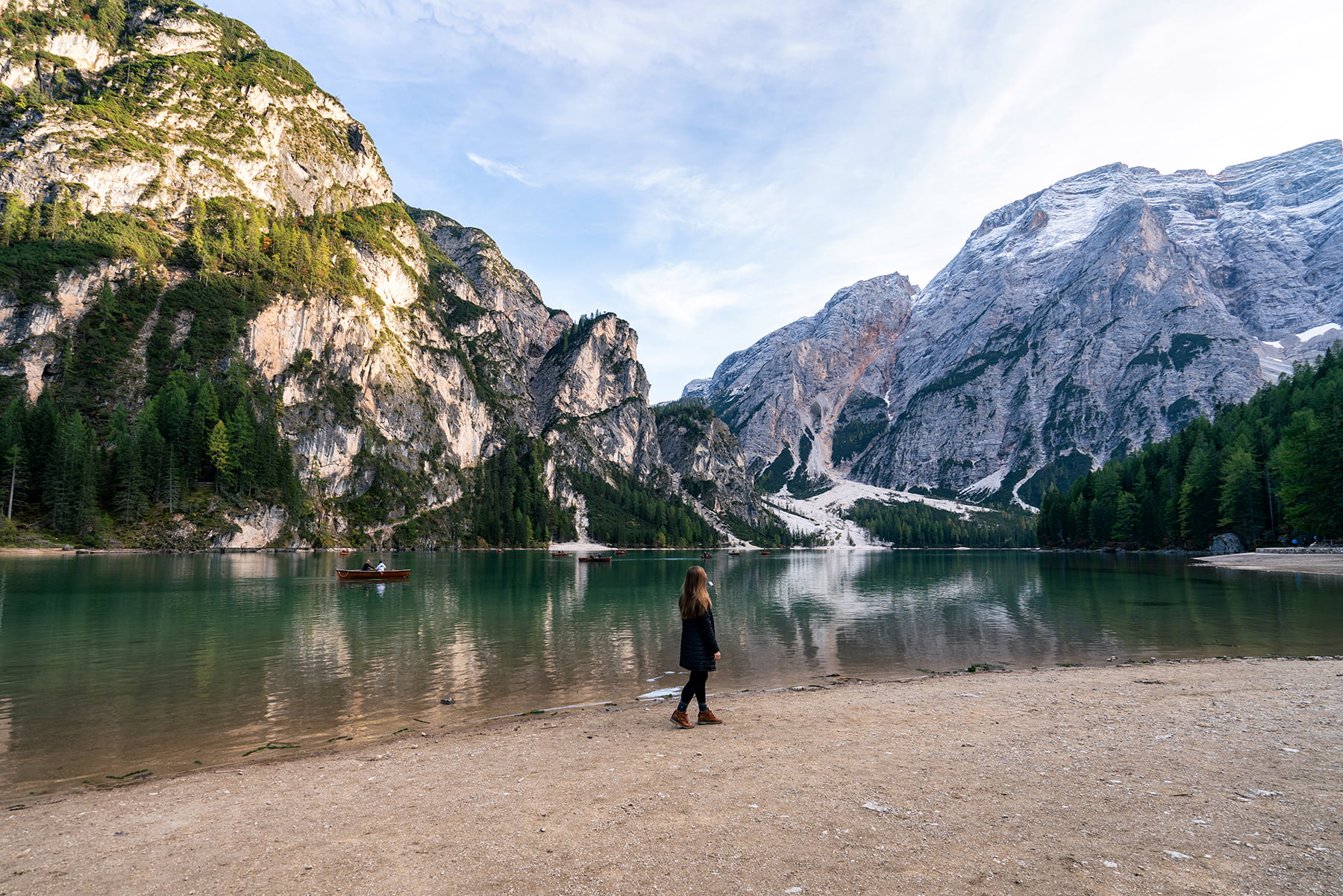
From Tre Cime, we drove to the adorable mountain town Cortina d’Ampezzo. My post next week will feature everything we did with our three days in the Dolomites.
Tips for Hiking Tre Cime di Lavaredo
- The best time to hike here is from mid June through late September. Trails will be clear of snow during this time, refugios are open to backpackers, and the weather is most pleasant.
- Start your hike early to ensure you get a parking spot and less people on the trail.
- Bring cash for the parking fee.
- If you come in the off-season when the refugios are closed, make sure to pack snacks and water.
- Dress in layers. It was very cold when we started, and it warmed up a lot by the end of our hike.

You may also be interested in:
Three Days in the Dolomites
27 Photos That Will Make You Want to Visit Northern Italy
Cinque Terre in One Day
Two Days in Tuscany
Discover more from Young Wayfarer
Subscribe to get the latest posts sent to your email.

Rob
I’d love to go there some day!
Melissa
I highly recommend it!!